- New

+90% in stock. Fast shipping. Free support.
YellowScan Navigator
Overview
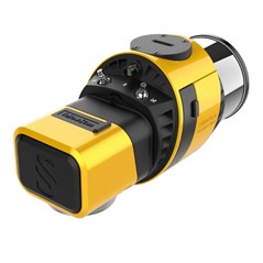
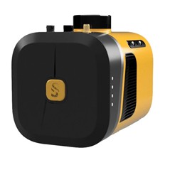
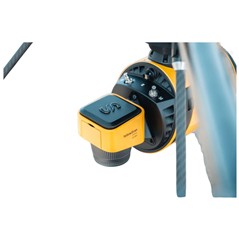
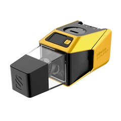
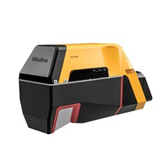
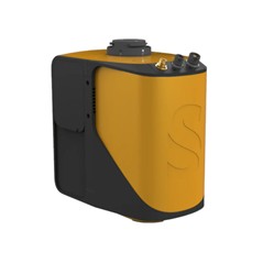
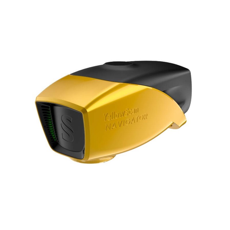
YellowScan Navigator is an innovative bathymetric LiDAR solution for mapping water surface and underwater topography with a single-button operation.
Its compact design allows for operating on various UAV platforms without compromising water penetration.
Survey shorelines, rivers or ponds with ease, by getting simultaneous land and underwater topography.
Specifications
Laser wavelength: 532 nm (green)
Laser class: Class 3B – avoid direct exposure to the beam
Laser range: up to 120 m
Scanning frequency: up to 50 Hz (selectable)
Max. point generation rate: up to 200,000 pts/sec
Shots per second: up to 20,000
Echoes per shot: up to 10 / Full-waveform
Field of view (FOV): 44°
Precision: 3 cm (1)(3)
Accuracy: 3 cm (2)(3)
Point density: 20 pts/m² @ 80 m AGL, 5 m/s
GNSS/INS solution: SBG Quanta Micro
Integrated RGB camera: 2 MP with global shutter
Typical flight speed: 5 m/s
Typical flying height: 80 m
Max. recommended flying height: 100 m
Autonomy: approx. 45 minutes
Weight: 3.7 kg (battery excluded)
Dimensions: 350 mm (L) × 160 mm (W) × 190 mm (H)
Power consumption: 120 W
Operating temperature: 0 °C to +40 °C
Minimum depth (bathymetric): 0.30 m
Maximum depth (bathymetric): up to 2 × Secchi depth