+90% in stock. Fast shipping. Free support.


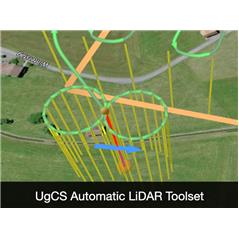
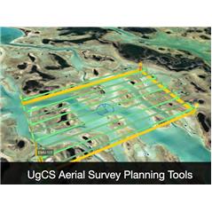
UgCS ENTERPRISE is the definitive platform for drone fleet management in corporate and public safety environments. This perpetual license unlocks critical capabilities such as real-time video streaming to command centers, centralized telemetry management via VPN, and advanced tools for LiDAR surveys with automatic IMU calibration. Ideal for search and rescue (SAR) teams, infrastructure inspection, and surveillance, UgCS Enterprise ensures precise 3D planning with terrain following, enabling safe and professional operations even in locations without an internet connection.