+90% in stock. Fast shipping. Free support.


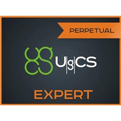
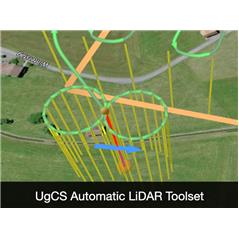
UgCS PRO is the leading choice for professional drone pilots demanding full control and precision in mission planning. This perpetual license offers advanced tools for photogrammetry, facade mapping, and search and rescue (SAR), allowing for strict terrain following through the import of custom elevation data. With an intuitive 3D interface and offline map support, UgCS Pro ensures safe and efficient operations, integrating seamlessly with DJI drones and MAVLink-based systems for professional survey results.