+90% in stock. Fast shipping. Free support.
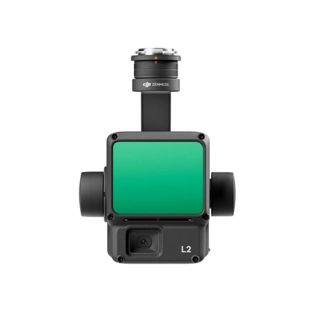


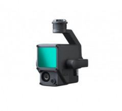
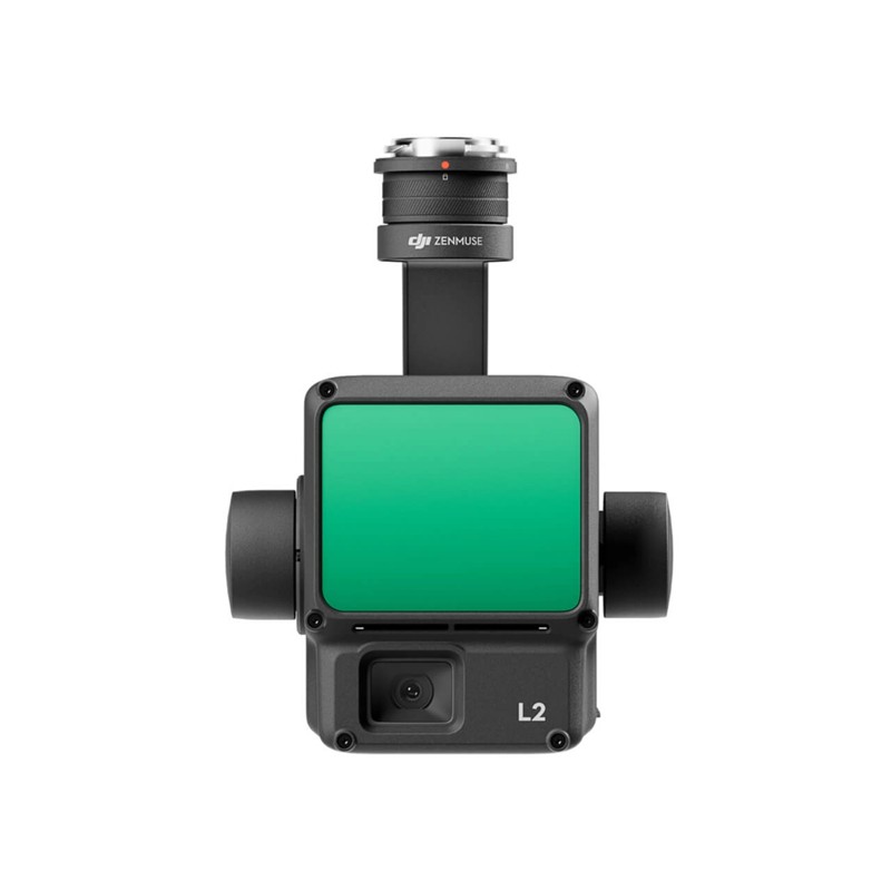
The DJI Zenmuse L2 represents a high-precision LiDAR solution designed for maximum productivity, integrating a powerful laser module, a 4/3 CMOS RGB camera, and a high-sensitivity inertial system (IMU). This system stands out for its range capability, detecting objects at 250 meters with only 10% reflectivity, and supports up to 5 returns, enabling effective penetration in dense vegetation areas to generate accurate digital terrain models (DTM). With a vertical accuracy of 4 cm and horizontal accuracy of 5 cm (at a 120m flight altitude), the L2 is the ideal tool for professional surveying and natural resource management.