Quantum-Systems Trinity F90+

Para continuar a navegar no nosso site, tem de aceitar os nossos Termos e Condições sobre a utilização de cookies

      Quantum-Systems Trinity F90+

      Sob Encomenda
      8024221643412
      Quantidade:


      TRINITY F90+ - THE MAPPING DRONE FOR PROFESSIONALS


      More survey data in less time. a win-win situation

      Whether in the agricultural sector, in the mining business or when inspecting industrial plants and construction progress, more data can be recorded in a very short time than it was previously possible with conventional systems.
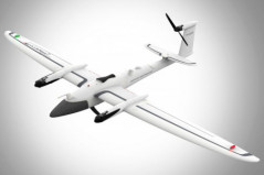
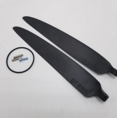
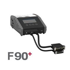
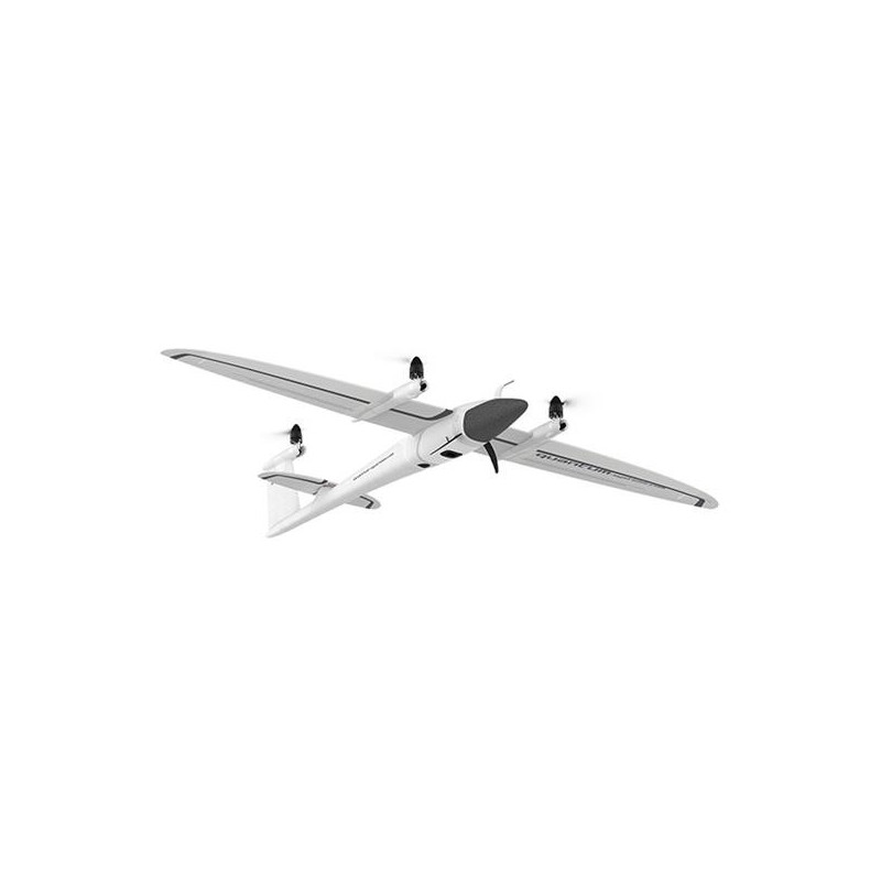
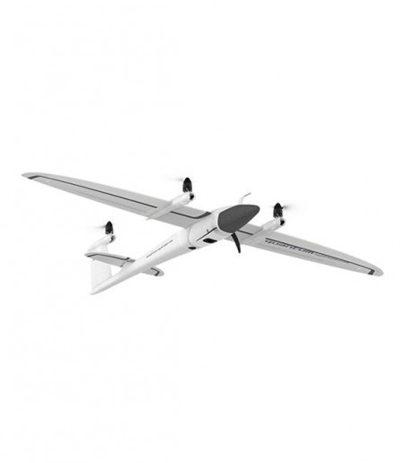
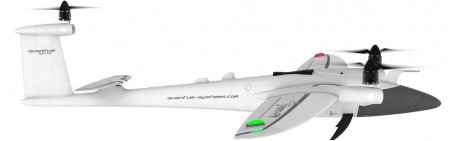
      The Trinity F90+ demonstrates its range advantage in comparison to classic multicopters and other fixed-wing drones due to the longer flight time and covers up to 20x larger areas. The larger the area to be covered, the more attractive the use of the Trinity F90+ will be.

      QBase3D – Intuitive Misson Planning

      The mission planning software is the main interface between the user and the drone. QBase3D provides simple and intuitive planning in combination with advanced functionality for professional users.


      Using QBase 3D is the way to pre-plan an aerial survey mission for Quantum-Systems UAVs.

      QBase 3D automatically generates efficient flight paths after the flight area and the mission parameters have been defined with a few clicks. You are in complete control over your photogrammetric aerial survey mission and and full coverage of your area of interest is guaranteed.

      QBase 3D provides real-time information such as altitude, speed, heading and battery status about the UAV and telemetry data about the mission that helps the pilot to stay up to date all the times.


      TRINITYF90

      Ficha de dados

      ENTEPRISE
      4

      Referências Específicas