+90% in stock. Fast shipping. Free support.
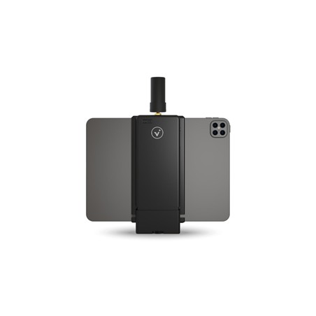
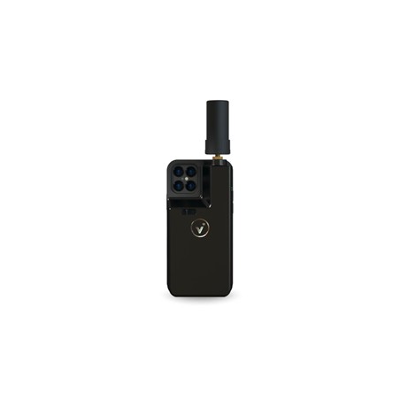

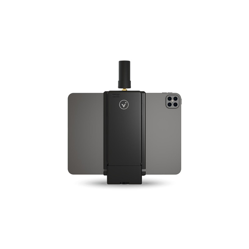
The Pix4D viDoc RTK Rover is a portable solution that transforms your smartphone into a professional surveying tool, combining RTK positioning with photogrammetry and LiDAR. Featuring 1 cm horizontal accuracy and convergence in under 5 seconds, this device enables real-time image georeferencing via NTRIP services, ensuring absolute accuracy of less than 5 cm. Seamlessly integrated with PIX4Dcatch, it replaces heavy, complex equipment with a simple, secure, and highly versatile digital workflow for terrestrial mapping and 3D space scanning.