+90% in stock. Fast shipping. Free support.

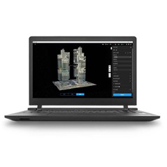
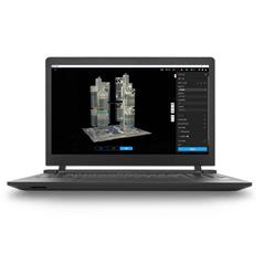
Gaussian Splatting: Terra introduces Gaussian Splatting, which quickly generates detailed and realistic 3D models from photos, accurately restoring various scenes such as cultural relics, architectural designs, urban blocks, and picturesque gardens.
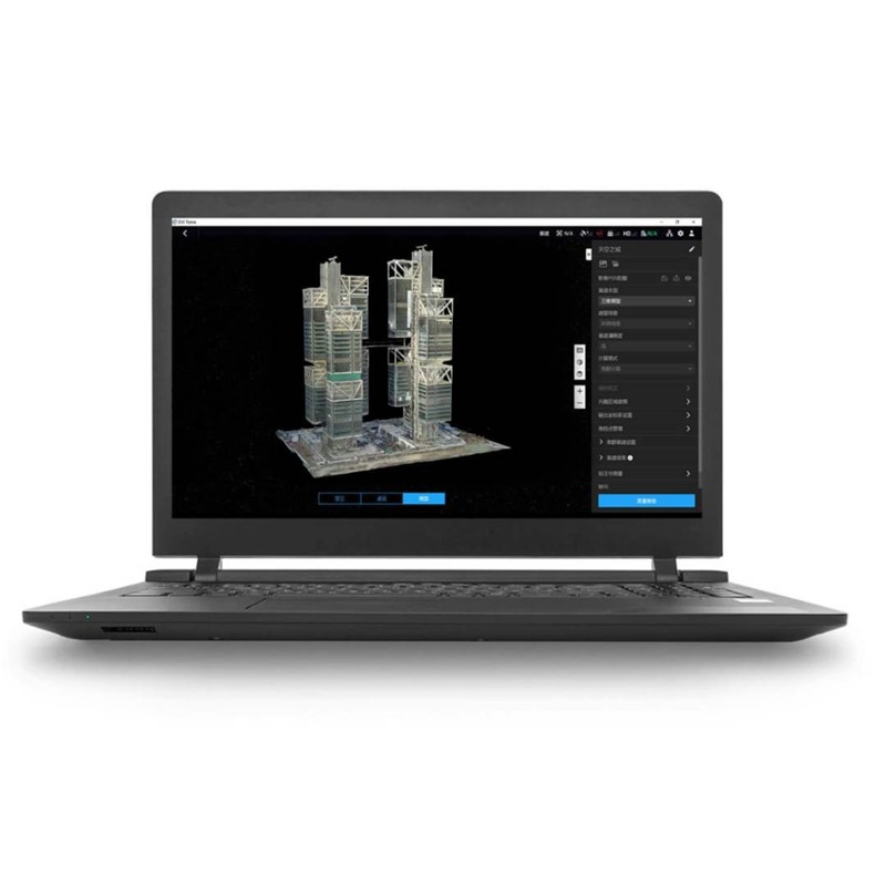
Photogrammetry: Terra quickly generates high-precision 3D models, point clouds, true digital orthophoto maps (TDOM), and digital surface models (DSM) from photos.
LiDAR reconstruction: Terra enables deep integration of LiDAR and visible light data.
With a single Zenmuse LiDAR acquisition, users can simultaneously generate high-precision point clouds, 2D maps, and 3D mesh models.
Multispectral reconstruction: Leverage multispectral data from the DJI Mavic 3 Multispectral and Phantom 4 Multispectral to generate vegetation index maps, including NDVI and NDRE, for actionable insights into plant growth and health.
Terra also supports radiometric correction and the creation of reflectance maps for remote sensing research.
Hardware synergy for multi-scene aerial surveying: When used with Matrice 4E, Matrice 400, Zenmuse P1, Zenmuse L2, and D-RTK 3, Terra offers cost-effective, professional-grade visible light and LiDAR mapping solutions.
Authorization modes: Online authorization and offline authorization are supported.