+90% in stock. Fast shipping. Free support.
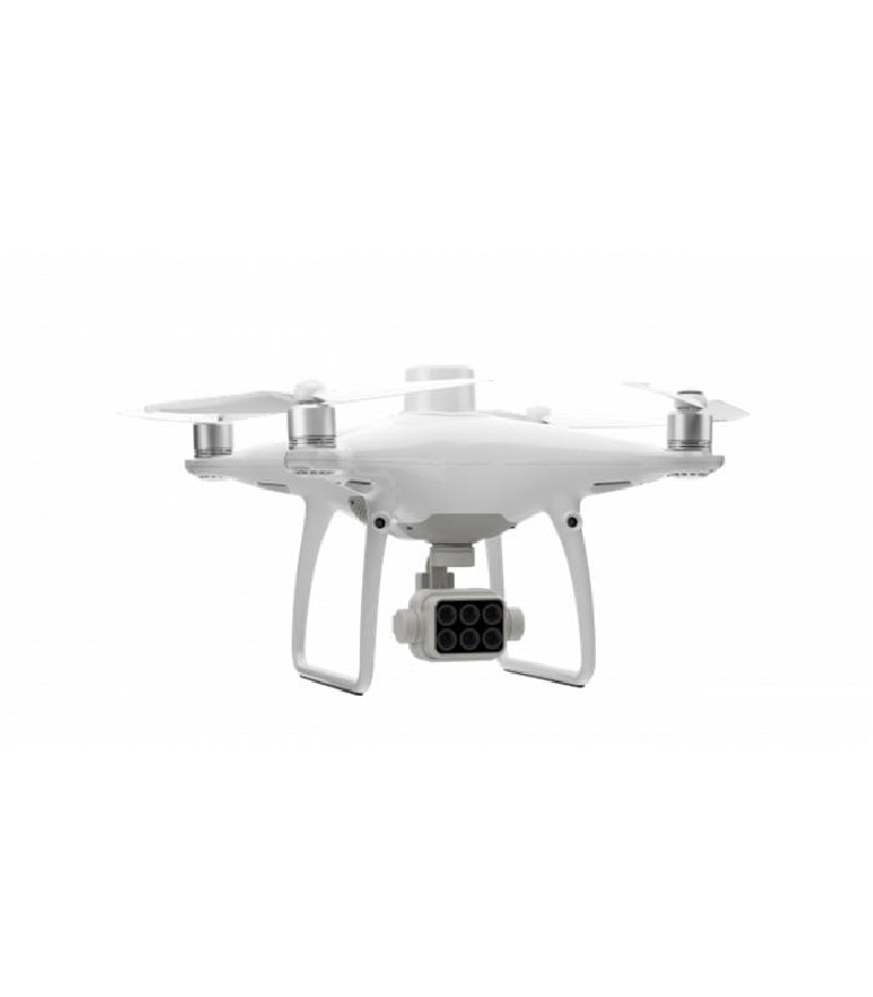
DJI Phantom 4 Multispectral
- General description:
During all growing seasons, multispectral imaging can be useful to agricultural professionals, providing information that is invisible to the human eye through the electromagnetic spectrum. Having access to this data and later obtained data on the Vegetation Index such as NDRE and NDVI, farmers can inform decisions about crop treatment, cost reduction, resource savings and yield maximization.
It is suitable for the following applications:
aerial survey
Agricultural Inspection
Investigation
plantation analysis
- Features:
Weight (Battery and Propellers Included): 1487 g
Diagonal dimensions (Propellers excluded): 350 mm
Max ascent speed: 6m/s
Max Descent Speed: 3 m/s
Maximum speed: A mode: 36 km/h (31 km/h) / P mode: 50 km/h
Maximum altitude above sea level: 6000 m
Maximum wind speed resistance: 10m/s
Maximum Flight Time: Approx. 27 minutes
Operating temperature: 0° to 40°C
Satellite Positioning Systems: GPS / GLONASS / BeiDou / Galieo
Transmission power: 2.4GHz / 5.8GHz
Obstacle Sensory Range: 2 to 98 feet (0.7 to 30 m)
Mapping Functions:
Mapping Accuracy: Mapping accuracy meets the requirements of ASPRS Precision Standards for Class III Digital Orthophotos
Actual accuracy depends on surrounding lighting and patterns, drone altitude, mapping software used, and other factors when shooting.
Soil sample distance (GSD): 2cm to 100m
Data Acquisition Efficiency: Max operating area approx. 1 km² for a single flight (at an altitude of 182 m, i.e. the GSD is approximately 5 cm/pixel, meeting the requirements of the ASPRS Precision Standards for Class III Digital Orthophotos
- Box contents:
drone x1
remote controller x1
x4 propellers
Phantom 4 Pro x2 high capacity batteries
Phantom 4 Pro charging hub